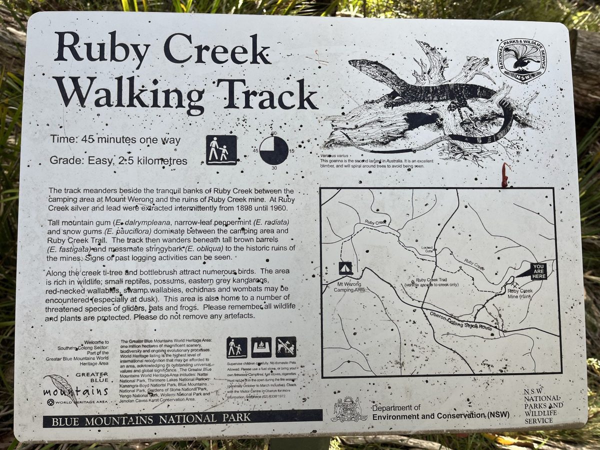
The Ruby Creek Walking Track is situated near the Mount Werong Campground, along the Oberon-Colong Stock Route.
It’s an easy 2.5 – 5.0 km walk, and is a pleasant side trip on the way to or from Yerranderie
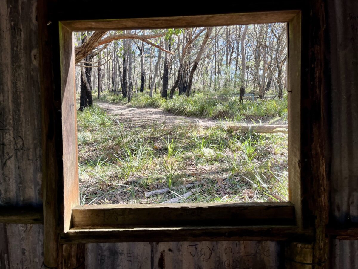
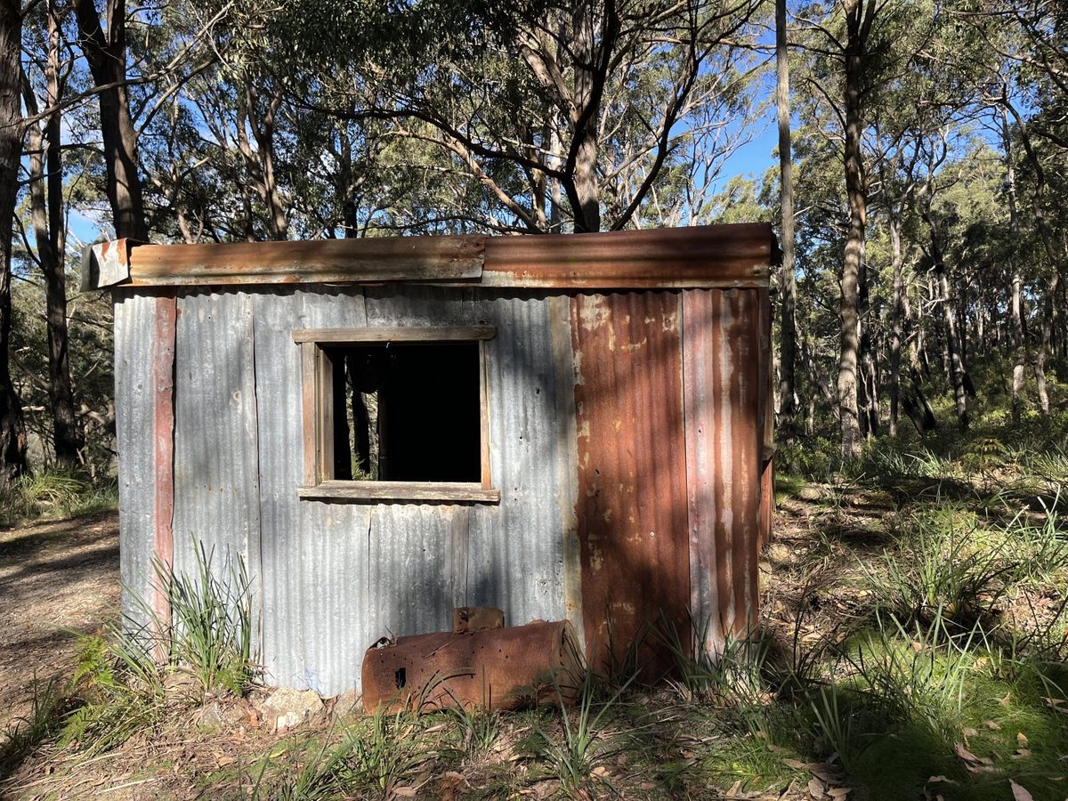
The track follows along Ruby Creek, and past the historic Ruby Creek Mine.
Mount Werong Loop
Another option nearby is the Mount Werong Loop (moderate grade). This is advertised as a cycling route:
- From the campground turn right (west) and head a short way along the Yerranderie Rd. to the Airstrip Trail, on your left.
Fast easy riding to the Mt. Werong FT. - Turn right (north) onto the Mt Werong FT then right again at the T-intersection back onto the Yerranderie Rd.
- Turn left onto Wattle Creek FT and through the Wilderness locked gate.
- Easy, tranquil riding along this little used trail that takes you into the Wilderness Area and allows you to experience the
joys of the native bush. - The,trail loops back south and becomes Ruby Creek FT.
- Pass through the Wilderness gate and cross Ruby Creek before turning left onto the Ruby Creek Walking Track.
- Follow the Walking Track east to Ruby Creek Mine.
- Take time out to look around the ruins of the old silver and lead mine.
- Follow the Mine access road south to the Yerranderie Road then turn right and travel 1.5km west to the campground
Take care on the road as it is well frequented on the weekends by 4WD vehicies.
About Mount Werong
From NPWS signage at the campground:
Aboriginal people have occupied the Colong area for many thousands of years, and the whole landscape is infused with Gundungurra and Wiradjuri connections, stories and meanings. Other signs include rock art, campsites,
grinding grooves and many local place-names.
Aboriginal people knew the only easy route between the Burragorang Valley and the Central Tablelands was by the Bindook Plateau, Murruin Range and Mount Werong. But when Francis Barrallier led the first white exploration into this country in 1802 he turned back in the wild ravines south of Kanangra Walls.
By 1827, colonial surveyors were dividing up Gundungurra homeland in the Burragorang for settlement. Cattlemen moved into Bindook, settled the Oberon highlands and explored the gorges for grass. In 1894 the Oberon-Colong stock route was established along the ancient Aboriginal pathway of the Murruin Range.
But it was not until 1960 that a road was made along the range – by graziers reluctant to give up their land when Warragamba Dam flooded the Burragorang Valley and cut off eastern access.
Meanwhile, two Gundungurra men had found silver-lead-zinc ore at Yerranderie in 1871, and it was mined from 1898 to the 1930s. Small scale mining also occurred at Ruby Creek from 1898 to the 1960s. A Mount Werong village was even marked out, but never came to much.
Logging of the plateau forests continued until the Mount Werong area was added to Blue Mountains National Park in 1987, after a community conservation campaign against the expansion of the Gurnang pine plantations.